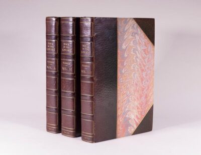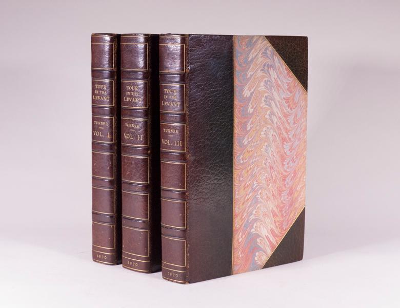
Turner, William Esq.
Journal of a Tour in the Levant
London: John Murray: 1820
- $7,500
London: John Murray, 1820. First Edition. Complete in 3 volumes. 8vo 22.7cm. 22 engraved plates of which 6 are hand-coloured aquatints - 2 of which are fold-out panoramas and one being a double-sided facsimile, 2 fold-out engraved maps, illustrations in text. All half-titles and coloured frontis piece plates are present. Volume I: [xxiii], (2), 408pp. (1); Volume II: [vi], (1), 608pp - incl. Appendix; Volume III: [vi], (1), 546pp incl. Index, (1-Errata), (1). Later half burgundy morocco with marbled boards and matching marbled end leaves, top page edges gilt, spines with five compartments ruled in gilt with bright gilt titles. Bound by Worsford. A very attractive set inside and out. Near Fine+ and complete. Scarce. First edition of this important work, which contains the accounts of several journeys, not consecutive. Turner spent five years in the Levant with this being a fascinating record of the Levant in the early nineteenth century. Turner's travels, while he was attached to the British embassy at Constantinople, took him to Egypt, the Holy Land, Albania, Greece and numerous Greek islands, as well as Turkey. The plates show costumes and antiquities, as well as views of Smyrna, Patmos and Pergamus. Atabey 1251, Blackmer 1687, Weber 94.
More from Chet Ross Rare Books
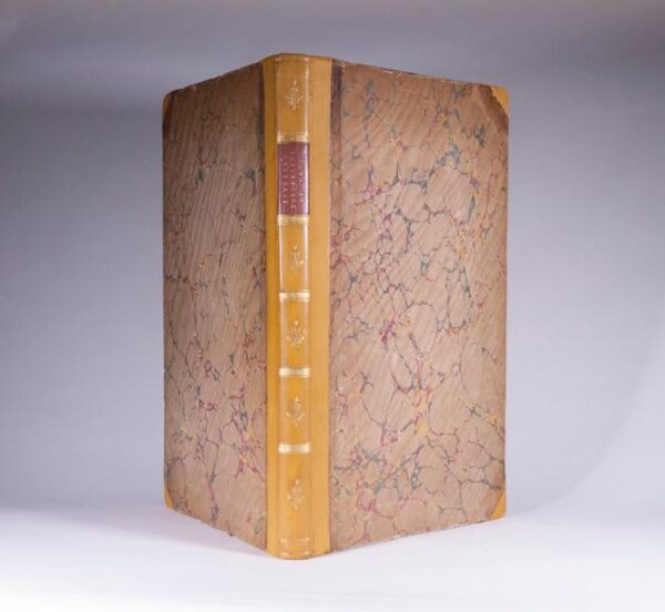
Topography of Troy, and Its Vicinity Illustrated and Explained by Drawings and Descriptions. Dedicated by Permission, to her Grace The Duchess of Devonshire.
Gell, William Inscribed and Signed by Lord Byron. London: C. Whittingham, for T.N. Longman and O. Rees, 1804. First Edition. Folio 43.5cm. (iv), 124 pp. Title leaf with hand-coloured engraved vignette, dedication leaf, 28 hand-coloured plates including 3 fold-out plates and 2 hand coloured maps, 13 engravings in the text, all but 2 coloured -- the entire sequence numbered 1--45, one unnumbered plate at page 21. ¾ tan calf with red morocco spine label and bright gilt decorations on spine. A lovely and complete copy in Near Fine Condition. Rare. The production of this very handsome folio was intended to provide accurate illustrations of the scenery covering the whole region of Troy. William Gell visited the Troy in December, 1801 during his first trip to Greece. He used a camera lucida (an instrument in which rays of light are reflected by a prism to produce on a sheet of paper an image, from which a drawing can be made) to produce in a very short time extremely accurate small-scale sketches of vast landscapes and scenes. The final production of this very handsome folio with its forty-five plates was meant to supply accurate illustrations of the scenery covering the whole region of Troy. This is a very impressive publication. Travel, 399. Blackmer Library 660. Certainly the most beautiful book on Troy ever printed --A.K. Lascarides, The Search for Troy, 1553-1874, 1977 Inscribed and Signed by Lord Byron on the verso of the second blank front free leaf reading: Sir William Gells Topography of Troy cannot fail to insure the appreciation of every man possessed of a classical taste as well for the information. Sir W. conveys to the mind of the reader as for the ability & research the works display. Ld. Byron- $7,000
- $7,000
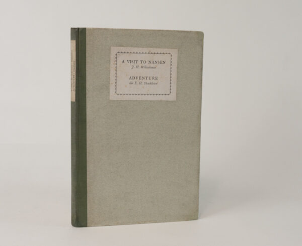
Adventure & A Visit to Nansen: Essays by Ernest Shackleton & Fridtjof Nansen
Whitehouse, JH London: Oxford University Press, 1928. 1st Edition. Adventure by Ernest Shackleton & A Visit to Nansen. 8vo, 22.7cm, [2], 23pp [5]. In Near Fine publishers green cloth backed boards with green cloth back strip, upper cover and spine with publishers paper labels lettered in black, two portrait front pieces. Uncut page edges. Near Fine condition internally with tight un-cracked hinges and no prior ownership markings. Scarce. This unique copy is signed by JH Whitehouse on a private library label inside the front cover. Spence 1255; Taurus 132; Renard 1691; Rosove 1343. The significance and importance of this publication to Antarctic exploration lies in the article by Ernest Shackleton entitled Adventure where he describes the spirit that moved him to explore. A well-written and interesting pair of essays by two of the most notable and accomplished polar explorers in the 19th and 20th centuries.- $450
- $450
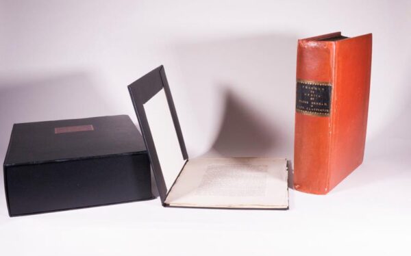
Narrative of Travels and Discoveries in Northern and Central Africa, in the Years 1822, 1823 and 1824, by Major Denham, Captain Clapperton and The Late Doctor Oudney, Extending Across the Desert to the Tenth Degree of North Latitude, and from Korika in Bornou, to Sackatoc, The Capital of The Fellatah Empire. With and Appendix.
Denham, Dixon and Clapperton, Hugh London: John Murray, 1826. 1st Presentation Edition, Signed. Royal 4to -- 29.4cm. [lxviii], 336pp., [iv], 272 pp., Appendix. Two volumes in one. Original Tuscan-red boards, spine with a fine contemporary black morocco label, tooled and titled in gilt; with 37 fine engraved and etched plates, charts and maps, and one large fold-out map, of which 35 full-page plates are on India paper, mounted and, of which 28 are also present in 2nd state for a total of 63 plates in all, comprising a Proof State Before Letters, and also on India paper, mounted, wood-engraved illustrations. Binding is professionally re-backed with old spine laid down, inner hinges restored. Now contained in a specially constructed black solander box with integral flap-case -- NB: As a result of a binders error, this copy was bound without four leaves (signature C of Volume II) and noted at the time on the original incorrectly bound signature in a contemporary graphite hand: This is a mistake. These have been supplied from another copy of the first edition. A Very Good copy of the one of the most sought after issues of this masterpiece of African travel. Presentation Copy of the First Edition inscribed on the front free-endpaper, John Major from the Publisher. Lowndes: The most interesting and important work yet published on the subject of African researches. It is written in a plain and perspicuous style, and containing many particulars of an hitherto unknown country. This, one of very few copies printed upon thick paper for presents only. According to Lowndes, there were 2 lesser issues of the first edition: the regular issue; a special issue, with the plates mounted on India paper; and third issue for presents only (op.cit.) the issue that is listed here, which has the plates mounted on India paper. The engravings, after original drawings by Denham and Clapperton, are superbly engraved by Edward Finden, one of the finest steel-engravers in England at the time. Denham and Clapperton, in the company of Dr. Walter Oudney, travelled from Benioleed, near Tripoli, almost due south to Lake Tchad, with excursions in the mountains west of Mourzuk in Fezzan. Dixon attempted to follow the circuit around Lake Tchad but was unsuccessful. In the meantime, Clapperton and Oudney journeyed west from the lake toward the Niger River, but the doctor only made it about a third of the way, and died in Murmur. Clapperton continued west, but was prevented from passing beyond Sackatoo by the local Sultan. He and Dunham subsequently returned to Tripoli and crossed back to England. This exciting narrative is compiled from Denhams journal, with a chapter by Dr. Oudney on the excursion to the mountains west of Mourzuk. A final section by Clapperton relates to the westward journey form Lake Tchad to Sackatoo and includes an account of Oudneys death. Among the several appendices are translations from the Arabic or various letters and documents brought back by Denham and Clapperton, including a document relating to The Death of Mungo Park; a translation from Arabic of A Geographical and Historical Account of The Kingdom of Tak-roor, from a larger work composed by Sultan Mahommed Bello of Hausa; Vocabularies of Bornou, Begharmi, Mandara and Timbuctoo; appendices on the Zoology and Botany of the Regions based on samples collected by Dr. Oudney; a note on Rock Specimens; and a Thermometrical Journal kept at Kouka in Bournou. -- Lownnes I p. 629, Howgego D18 Vol. II.- $3,800
- $3,800
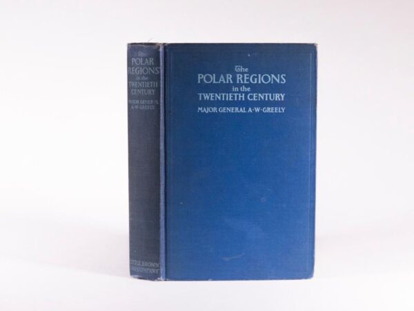
The Polar Regions in the Twentieth Century, Their Discovery and Industrial Evolution — Signed and Inscribed by A.W. Greely
Greely, A. W. Boston: Little, Brown, and Company, 1928. First edition. [x], 270pp. 27 photographic plates and illustrations, large fold-out color map. Index. Publishers blue cloth lettered in light blue. Interior with front hinge beginning to crack, so pages untrimmed, some wear to extremities, otherwise a very good copy. Signed and inscribed by A.W. Greely on the front free end leaf and including art two newspaper articles (obituaries) discussing his career and death. Arctic Bibliography 6116. An account of "the discovery and industrial evolution" of the Polar Regions by Civil War hero and famous polar explorer Adolphus W. Greely. In this informative overview, Greely discusses Arctic and Antarctic discoveries prior to 1800 to include the Northwest Passage, the Bering Sea, Arctic Alaska and Polar Canada, Hudsons Bay, the Kane Sea, Greenland, Iceland, the Asian Arctic, the Antarctic Regions and more. Greely was also responsible for supervising the laying thousands of miles of telegraph cable while in the U.S. Army Signal Corp.- $180
- $180
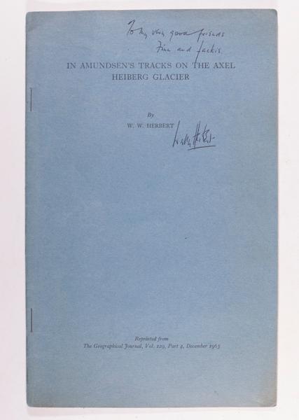
In Amundsen’s Tracks on the Axel Heibert Glacier: The Proceedings of the Royal Geographical Society and Monthly Record of Geography — Signed and inscribed by Wally Herbert
Herbert, W.W. London: Royal Geographic Society, December 1963. Volume 126, Part 4. 8vo 24.5cm. In Amundsen's Tracks. pp397-411 large fold-out color map. Publishers blue printed wrappers with black titles on front cover and stapled binding complete and in near fine condition. An informative publication of a presentation by W.W. Herbert to the Royal Geographic Society in December 1963 discussing his impressions of Amundsens journey along the Axel Heibert Glacier enroute to his conquest of the South Pole. Herbert followed the tracks of Amundsen and gives this most engaging and informative account while projecting the experience and what it must have been like in the context of Amundsens time fifty years earlier. With discussion notes by RGS President Sir Raymond Priestly at the rear. The leader of the British Trans-Arctic expedition was Walter William "Wally" Herbert (1934-2007) who made a 3800-mile surface crossing of the Arctic Ocean. This unique copy is signed and inscribed by Herbert on the front cover and also signed above his printed name on the large fold-out color map mounted at the rear of this publication.- $350
- $350
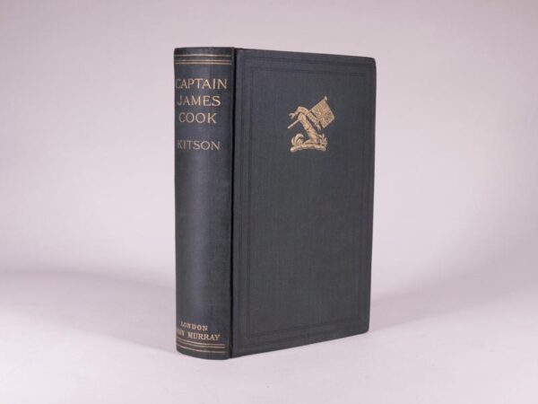
The Life Of Captain James Cook: The Circumnavigator — Signed twice & Inscribed by Kitson
Kitson, Arthur London: John Murray, 1911. First Edition. Large 8vo cm. 334pp., Appendix, Index, Publishers Ads at back; b/w photographic illustrations + fold-out colour map; internally in Very Good condition with only beginning intermittent foxing, minor professional restoration at spine extremities.An excellent copy of a Scarce publication. Rosove 192.A1 This most unique copy is signed and inscribed by Arthur Kitson on the half-title page. Also included is Kitsons inscribed business card mounted on the front free end leaf. Kitson presents an accurate chronology of Cook's career on the Eagle, Pembroke, Northumberland, Endeavour and Cooks 2nd and 3rd Pacific voyages. A very well-research book and most difficult to find in the 1st UK Edition.- $850
- $850
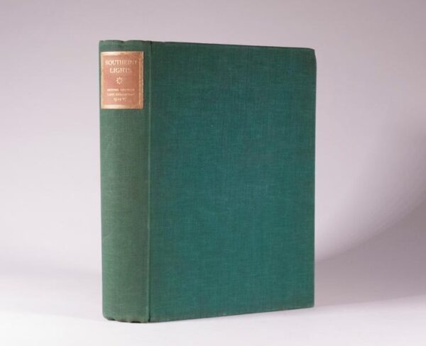
Southern Lights: The Official Account of the British Graham Land Expedition 1934-1937 — Signed by John Rymill
Rymill, John London: Chatto and Windus, 1938. First Edition. 4to 25.8cm. [xv], 296pp., frontispiece plus 121 excellent sepia toned photographs, three fold-out maps with color, several full-page maps -- some in color, one large fold-out color map at rear -- complete. A Near Fine copy in publishers green cloth covered boards with bright gilt title label on spine. Internally in Fine condition with tight un-cracked hinges and no prior ownership markings; no foxing, inscriptions, folds or tears. Exterior is Near Fine with no wear to edges or corners of original green cloth. A well-preserved complete copy in Near Fine condition. This unique copy is signed and inscribed by John Rymill on the front free end leaf. Conrad 296; Spence 1016. Rosove 226.A1.c Southern Lights is a well-written first person narrative of an important expedition establishing that Graham Land, in the Weddell Sea, was part of the Antarctic Continent and not an archipelago. Containing two chapters by A. Stephenson and a historical introduction by Hugh Robert Mill. The British Graham Land Expeditions objectives were simple: experience the adventure of polar living, matching danger and daring while exploring Graham Land by ship, sledge and airplane". This book is an interesting and good read with excellent sepia images and maps.- $750
- $750
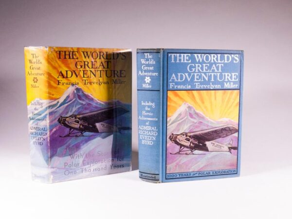
The World’s Great Adventure 1000 Years of Polar Exploration – Including the Achievements of Admiral Richard Evelyn Byrd. with Forewords by General A.W. Greely and Dr. Henry Fairfield Osborn. Signed by Lawrence Gould and John OBrien
Miller, Francis Trevalyan, LL.D., Litt.D. Philadelphia, Chicago and Toronto: The John C. Winston Company, 1930. 1st Edition. 8vo 22.4cm. 384pp. Flights for the Top of the World and detailed Chronology of Explorations at the rear; illustrated with a colored frontispiece and black-and-white photographs and drawings. Publishers blue cloth with colored cartographic end leaves of the north and south polar regions. Silver tiles and color image on front cover are bright, spine silver also bright; very light wear to extremities. A Near Fine and complete copy in a lovely unclipped dust jacket in Very Good condition. This unique copy is signed twice. On page 63, the full-page black-and-white photographic plate of Lawrence Gould is signed by him. Gould was second in command of Byrds expedition and served as expedition geologist. On page 76, the full-page photographic plate of John OBrien is signed by OBrien. He served as chief surveyor and Assistant to Admiral Byrd on the Byrd Antarctic Expedition. The book presents a well-researched history of polar expeditions, by Admiral Byrd and many others.- $200
- $200
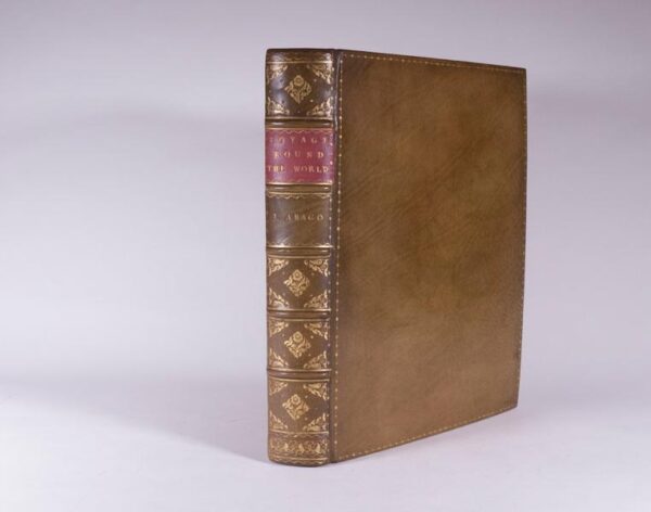
Narrative of a Voyage Round the World, in the Uranie and Physicienne Corvettes, Commanded by Captain Freycinet, During the Years 1817, 1818, 1819 and 1820; on a Scientific Expedition Undertaken By Order of the French Government, in a Series of Letters to a Friend
Arago, Jacques London: Treuttel and Wurtz, Treuttel, Jun. and Richter. 1823, First English Edition. Quarto 27.5 cm. 2 parts in 1, fold-out frontispiece map and 25 lithograph plates -- complete; later full-tan calf with gilt decorative ruled border on front and rear boards, spine with five raised bands, bright gilt decorative compartments and fuchsia morocco title label. Despite the clear evidence of the 'Directions for placing the Plates' present here, there has been some unnecessary confusion about the collation of this book. Ferguson omitted the map from his plate count, while Hill erroneously called for a map and 26 plates. This very clean copy, with the map and 25 plates is complete and in Near Fine+ condition. The first edition in English of this private narrative of the 1817-1820 Freycinet expedition to Australia and the Pacific - in fact the first appearance in English of any account of the voyage. Originally published in French, Arago's book in its many subsequent editions became one of the voyage best-sellers of the nineteenth century. The English edition is much rarer than the French edition. The very large multi-volume French account of the voyage was far more serious and scientific in tone. Arago was the official draftsman on the voyage, and the excellent lithograph plates here are all after Aragos drawings. WITH: A 3-page letter written and signed by Arago dated 8 April 1842 to Minister M. Piobert discussing the voyages of Dumont Durville and La Place. The Uranie with a crew of 125 men under the command of Captain Louis de Freycinet, entered the Pacific from the West to make scientific observations on geography, magnetism and meteorology. Arago was the artist of the expedition which visited Western Australia, Timor, Hawaii and New South Wales. The original ship wrecked off the Falkland Islands. Two months later, the expedition continued aboard the Physicenne which stopped for a time in Rio de Janeiro. Captain Freycinets wife, Rose Pinon, was smuggled on board at the advent of the voyage and made the complete journey, causing some discord among the crew. Freycinet named an island he discovered after her Rose Island among the Samoa Islands. These entertaining letters, written in a lively and witty literary style, provide vivid descriptions of the topography and the inhabitants of the Pacific Islands. The book achieved great success. Hill 28-29.- $8,500
- $8,500
The Importance of the Cape of Good Hope, As a Colony to Great Britain, Independently of the Advantages it Possesses as a Military and Naval Station, and the Key to Our Territory Possession of India.
Fisher, Richard Barnard London: T. Cadell and W. Davies, 1816, First hardbound edition. 3rd (and best) edition with additions. 8vo 22.7cm. [xxiv], 190 pp. Fold-out hand-colored aquatint frontispiece, fold-out hand-colored plan in outline. Original boards re-backed with original spine laid down and original endpapers. A very clean and complete copy with no foxing and pages untrimmed. The first two editions of the work were issued in pamphlet form, and the present volume possesses additions to the letterpress of earlier productions. Fisher was of the opinion that the Hottentots had no language and that the few words they pronounced were either Portuguese or Dutch. Fisher complains that there were no taverns, hotels, or even shops in Cape Town, and draws a by no means favorable picture of it inhabitants, who he says, have a most inordinate sense of pride while they seem to pride themselves on their dexterity in imposition, and none suffer so much from it as English military and navy. He also quotes Barrow as saying that the inanity of their minds and the indolent habit of their bodies are not even surmounted by self-interest, and reference is made to the extreme brutality displayed by the Africans (Afrikanders) to their slaves. There is an article on the wines of the colony, and others having reference to the trade in dried fruits, ostrich feathers, ivory, &c. Under the title Further Considerations, many suggestions are made for the betterment of the government of the colony Mendelssohn Volume 1. Pp. 547.- $3,500
- $3,500
![Sydpolen: Den Norske Sydpolsfaerd med Fram 1910-1912 -- The South Pole: The Norwegian South Pole Expedition with Fram]1910-1912. Complete as published in 40 parts -- with tipped-in signature of Roald Amundsen](https://rarebookinsider.com/wp-content/uploads/2021/07/21837829380-600x503.jpg)
Sydpolen: Den Norske Sydpolsfaerd med Fram 1910-1912 — The South Pole: The Norwegian South Pole Expedition with Fram]1910-1912. Complete as published in 40 parts — with tipped-in signature of Roald Amundsen
Amundsen, Roald Kristiania: Jacob Dybwads, [May-September] 1912. 40 parts, First Edition, First Printing. 8vo. Collated Complete with: Sepia photographic frontispiece of Amundsen, 47 plate leaves, 4 maps including 3 coloured two being fold-out, numerous text illustrations, publisher s instructions for private binders at front of Part XXI. Original paper wrappers decorated with circular photograph set within a surround of penguins, the first two parts coloured silver and the remainder light blue-green as called for. All 40 parts complete and in Very Good to Good+ condition; pages untrimmed as issued. RARE original 40 parts First Issue of Amundsen s classic account of his victorious expedition to the South Pole. Rosove 8.A1.1 VERY RARE ORIGINAL PARTS ISSUE of Amundsen's classic account of his victorious expedition to the South Pole. Amundsen disembarked from the Fram at Buenos Aires in May 1912 to meet his sponsor Don Pedro Christophersen. He was invited to stay on one of Christophersen's estancias to write up his account of the expedition. The Fram returned home without him, leaving Buenos Aires on 7 June 1912, the second anniversary of their departure from Christiania. The sudden contrast was not lost on Amundsen: 'Here I am, sitting in the shade of palms, surrounded by the most wonderful vegetation, enjoying the most magnificent fruits, and writing -- the history of the South Pole. What an infinite distance seems to separate that region from these surroundings! And yet it is only four months since my gallant comrades and I reached the coveted spot . On December 14, 1911, five men stood at the southern end of our earth's axis, planted the Norwegian flag there, and named the region after the man for whom they would all gladly have offered their lives -- King Haakon VII. Thus the veil was torn aside for all time, and one of the greatest of our earth's secrets had ceased to exist. Since I was one of the five who, on that December afternoon, took part in this unveiling, it has fallen to my lot to write -- the history of the South Pole'. With: the original publisher s decorative boards issued to bind the 40 parts. With: tipped in signature of Roald Amundsen Noticeably lacking the heroic tone of Scott's accounts, Amundsen's typically modest narrative of the Norwegian endeavor 'speaks of what is achieved, not of their hardships. Every word a manly one. That is the mark of the right man, quiet and strong' (Nansen, Introduction). Written before the outcome of Scott's Terra Nova Expedition was known, the differences between the two expeditions were already being outlined, and the battle-lines in what would become an ongoing debate already being drawn: 'For the victory is not due to the great inventions of the present day and the many new appliances of every kind. The means used are of immense antiquity, the same as were known to the nomad thousands of years ago, when he pushed forward across the snow-covered plains of Siberia and Northern Europe. But everything, great and small, was thoroughly thought out, and the plan was splendidly executed. It is the man that matters, here as everywhere. Let no one come and prate about luck and chance. Amundsen's luck is that of the strong man who looks ahead' (Nansen, ibid). This original parts issue of Sydpolen was followed by Jacob Dybwads' 2-volume edition and translated immediately into English, Danish, French, and German. Rosove lists only 2 copies of the original parts issue (one of which lacks the binding advertisement and instructions) calling it 'VERY SCARCE'. He lists no copies in public institutions. Most part issues were bound together by contemporary binders, the original printed wrappers being 'variably retained', and even these bound sets Rosove considers 'uncommon' (4 listings). No set of the original parts issue is recorded at auction by ABPC since 1975- $7,500
- $7,500

The Polar Book — Signed: L.C. Bernacchi, Physician, Capt. Scott Expedition, 1901-4
Bernacchi, Louis London: E. Allom, & Co Ltd. 1930, First Edition. 8vo 21.2 cm., 115pp. 2 maps on one large fold-out plate attached to rear cover, publishers soft paper wrappers with figures of polar bear and penguins on front cover, penguins, seal, walrus and mollusk on back cover and spine lettered with black title. Beginning foxing on title page and preliminaries, no prior ownership name. Foreword by L.C. Bernacchi. Signed L.C. Bernacchi, Physician, Capt. Scott Expedition, 1901-4 on the title page. A Very Good+ copy of this Scarce publication. This unique copy being signed in graphite by L.C. Bernacchi on the upper main title page. Spence 125, Taurus 134, Renard 113, Rosove 1026. The Polar Book is an attempt to bring together various aspects of polar work by means of short authoritative articles. Published in conjunction with the British Polar Expedition of 1930, with contributions from some of Britains most noted polar explorers to include Hugh Mill, Frank Debenham, GC Simpson, CS Wright, JM Wordie, GT Atkinson, Dr. G Murray-Levick, Dr. RH Rudmose Brown, HG Watkins and LC Bernacchi.- $1,500
- $1,500
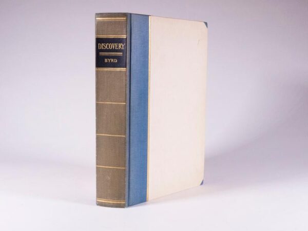
Discovery Deluxe Limited Edition — The Story of the Second Byrd Antarctic Expedition. Signed by R E Byrd
Byrd, Richard New York: G.P. Putnams Sons, 1935, First Edition Deluxe Limited and signed Issue this being copy #175. 1st printing, 8vo 25.1cm. [xxi], (1), 405pp rough cut edges and this copy un-trimmed. Appendix, Indexed, maps and over 100 photographic illustrations, gilt speckled end leaves, publishers ¾ blue cloth and vellum boards with bright gilt ruling; bright gilt title and ruling on lightly darkened spine cloth. A Near Fine and complete copy. Conrad p291, Spence 229, Taurus 119. Combining the most primitive means and the most modern while traveling by ship, dog team and airplane, Admiral Byrd and his men penetrated to the very heart of the Antarctic. In all, twenty two branches of science profited from the discoveries during this expedition. Among the numerous firsts that resulted were: the Antarctic ice cap was tapped by seismic soundings and the depth of the ice determined; on the rim of the polar plateau 180 miles from the South Pole, a sledging party discovered the petrified remnants of semi-tropical vegetation, and on the glacierized slopes of the Edsel Ford Range another party discovered a rare profusion of Antarctic flora hinting of mineral wealth and microscopic life. A well-written and informative first-person account.- $850
- $850
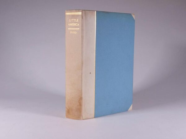
Little America: Aerial Exploration in the Antarctic, The Flight to the South Pole — Authors Autographed Deluxe Edition — Signed by R E Byrd and G.P. Putnams Sons.
Byrd, Richard E. New York: Putnams Sons,1930. First Deluxe Edition. Sm4to 25.1cm. [1], Xvi, 436 Pp. With 74 photographic illustrations and maps including two fold-out maps. In publishers ¾ white vellum over blue paper-boards. Taurus 114. The official account of Byrds initial Antarctic expedition, the first American expedition of its kind. The book is named for the base camp Little America from which Byrd conducted his expedition, setting up radio towers and airstrips, which revolutionized Arctic exploration. Byrd was perhaps the most famous American polar explorer. Many believe Byrds introduction of aerial, snowmobile and radio technologies marked the end of the heroic age of Antarctic explorations, which was replaced by the mechanical age. A near fine copy.- $750
- $750
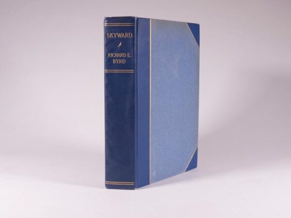
Skyward — Deluxe Autographed Edition — copy #6 Signed by R E Byrd and G P Putnams Sons
Byrd, Richard E. New York: G.P. Putnam's Sons, 1928. With a foreword by William A. Moffett. Octavo 25.0 cm., [2], xv, [1, blank], 348 pp. Ten photogravure plates, with descriptive tissue guards, and forty-six photographic plates on twenty-three leaves (58 illustrations total); fold-out map at end. Publishers ¾ blue cloth with bright gilt ruling on boards with spine stamped in bright gilt. Edges untrimmed. A Near Fine copy. Mounted on the front pastedown endpaper is a portion of the fabric (showing both sides) which covered the plane Josephine Ford on her historic flight over the North Pole on May 9th, 1926. Arctic Bibliography 2592 One of five hundred hand-numbered copies signed by R E Byrd and G P Putnams Sons -- this being copy #6. In excellent condition exterior and interior; hinges tight and pages unmarked and crisp.- $850
- $850
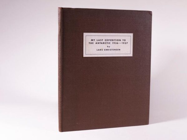
My Last Expedition to the Antarctic 1936-1937 — Signed by Lars Christensen
Christensen, Lars Oslo, Norway: Johan Grundt Tanum, 1938, First Edition. 4to 23.5 cm. 18pp including black-and-white frontpiece portrait of Lars Christensen, 25 black-and-white photographic images on 9 plates, two photographic maps, cartographic end leaves. Publishers textural dark brown paper-covered boards, publishers printed label to the upper board. No prior ownership markings. A near fine and complete copy in excellent condition. Scarce. This publication is a production of a lecture delivered before the Norwegian Geographical Society on September 22, 1937. Lars Christensen had a deep interest in Antarctica and its animal life. He was particularly interested in making geographical discoveries, and gave his captains wide latitude to do so. He financed several expeditions specifically devoted to the exploration of the Antarctic continent and its waters, and he personally participated in some of these, bringing his wife Ingrid with him in the 19361937 expedition. He was among the first to use aerial surveying with seaplanes to map the coast of East Antarctica, which he completed from the Weddell Sea to the Shackleton Ice Shelf, concentrating on Bouvetøya and the region from Enderby Land to Coats Land. From the seaplane brought on the 19361937 expedition, members took 2,200 oblique aerial photographs, covering 6,250 square miles (16,200 km2). Wikipedia- $650
- $650
Journal of a Tour in the Levant: https://rarebookinsider.com/rare-books/journal-of-a-tour-in-the-levant/
